A reason to pause here
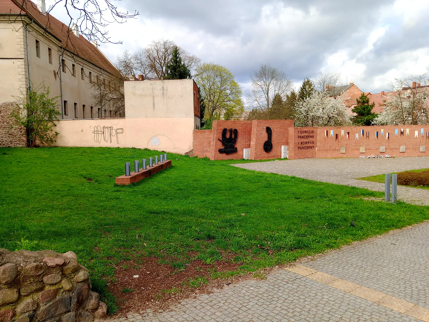
The planted paths inside surviving brick walls make us stop and ask what used to stand here. The memorial and old masonry deserve time on a Żagań walk.
A square beside the medieval defences
Żagań’s tourist information centre dates the town’s defensive walls to the fourteenth century and identifies the section around General Stanisław Maczek Square among the longer surviving stretches. The walls once defined the defended town’s boundary.
Today the older masonry sits beside later town-centre uses and planted pedestrian space. We would start with the surviving wall line, looking at the material and gateways before reading the commemorative features within the square.
Read the space at walking speed
The gallery follows paths, flowers and grass beneath the surviving walls. We like a stop where a planted bed can lead the eye back to the masonry above it. Give the memorial or inscription time without blocking people passing through.
The town’s tourist centre suggests a wider wall walk taking in Wałowa, Rybacka and the area around Szkolna and Keplera. Choose the stretch that suits your day rather than try to find every surviving fragment at once.
Plan the visit
The tourist information centre lists free access to the public wall route throughout the year. Individual buildings or enclosed areas beside it can have separate restrictions. Start from the square on foot, follow open pavements and use marked crossings. Check the tourist centre for a current town map and any works affecting the walk.
- Follow the surviving wall line before looking for smaller details.
- Use an up-to-date town map for a longer wall walk.
Planning sources
Visitor conditions and schedules can change. Check these official sources before travelling.
- Żagań tourist information centre: town walls, location and walking access
- Żagań city: walking routes and visitor information
Source links checked September 30, 2026.