Field notes from Great Smoky Mountains National Park and the communities on its Tennessee and North Carolina edges.
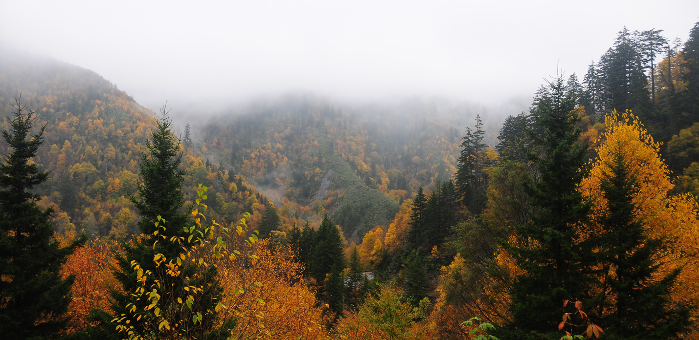
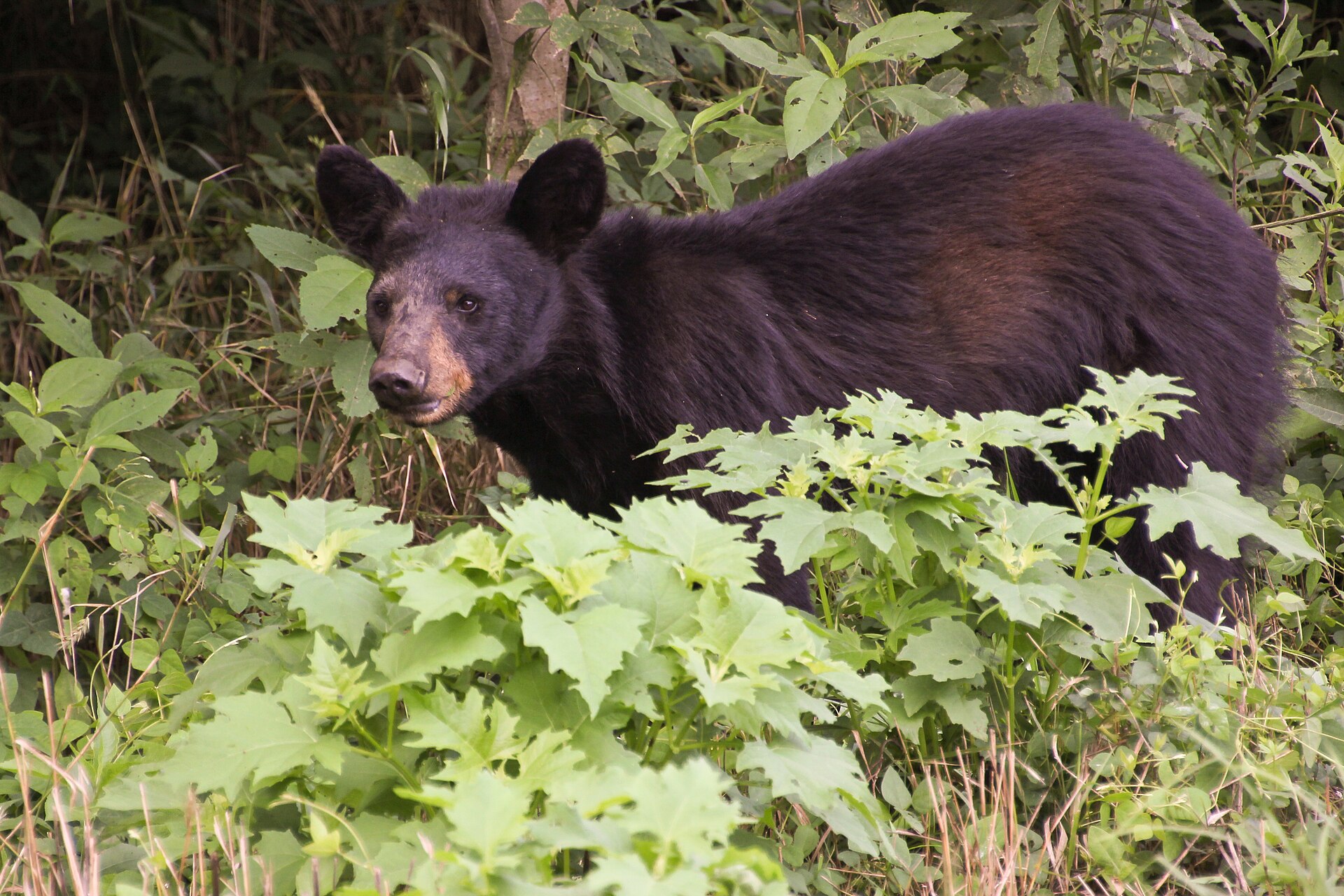
Photo: NPS Photo. Original · Public domain in the United States; U.S. National Park Service photograph · Resized for this site; some views are cropped.
On this map
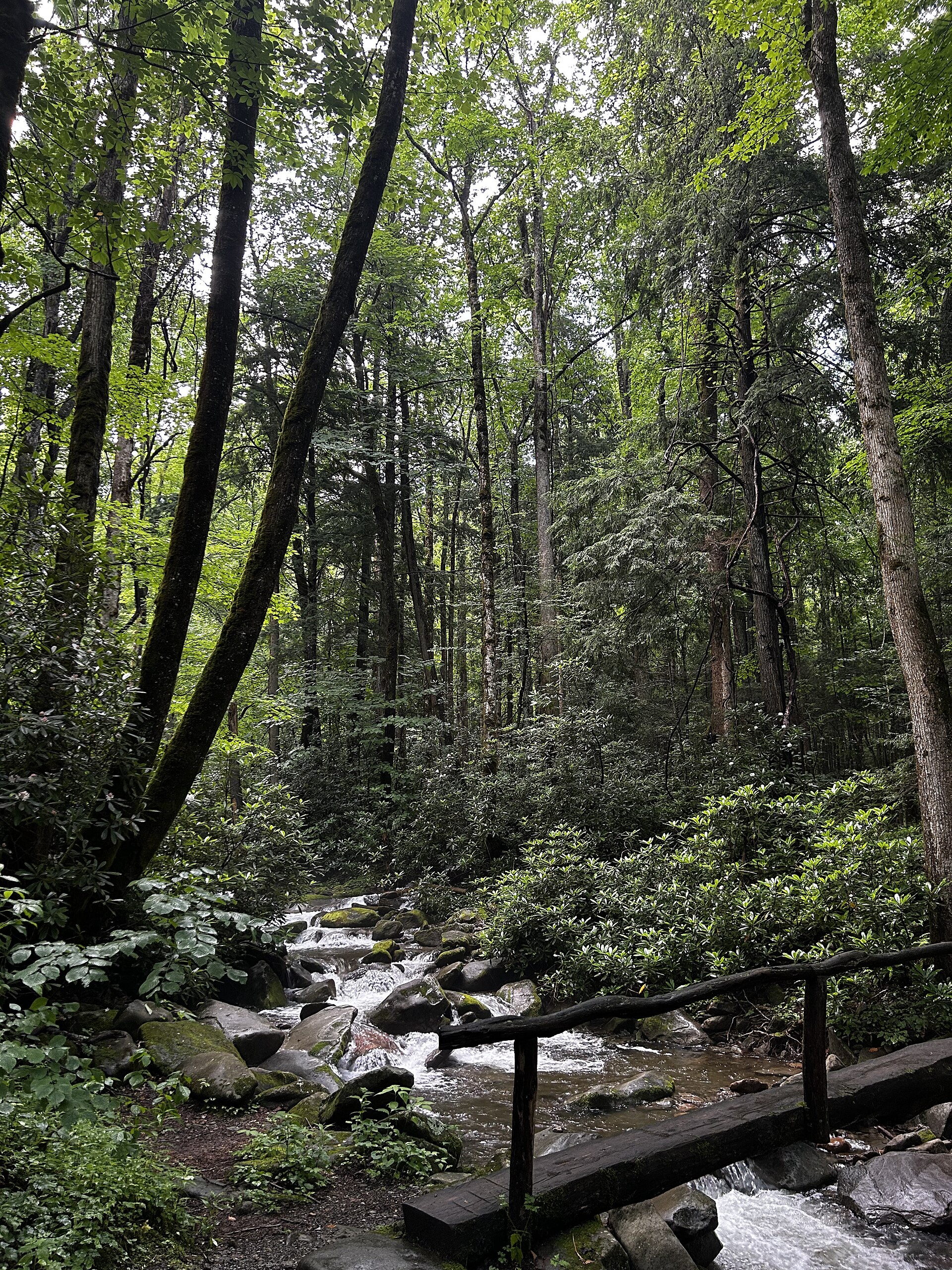
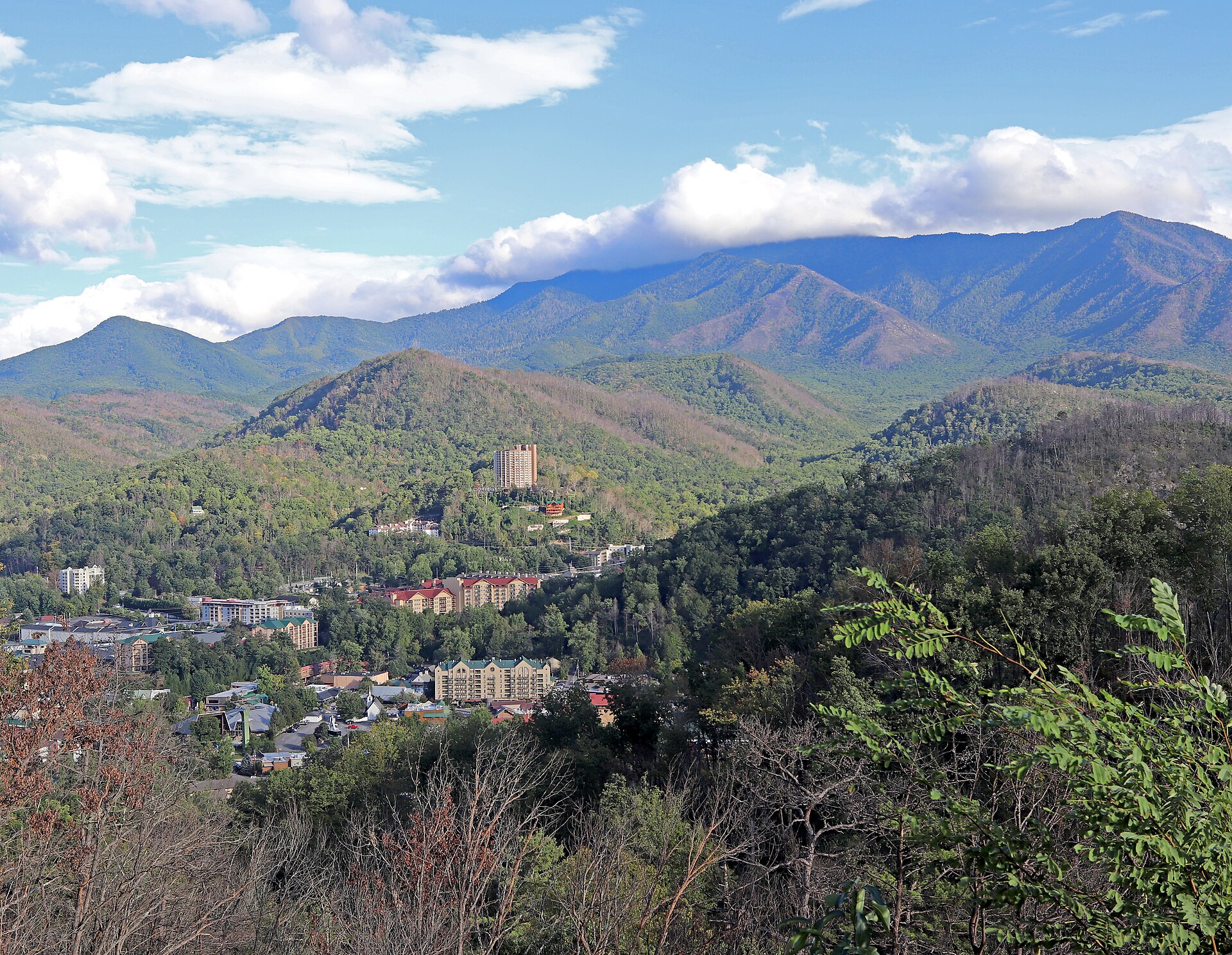
The Smokies run along the Tennessee–North Carolina state line. A day here can mean a quiet stretch of the Foothills Parkway, a walk beside a cold stream, or a slow circuit through Cades Cove. Weather and road access change with elevation and season, so check the park’s live notices before you leave.
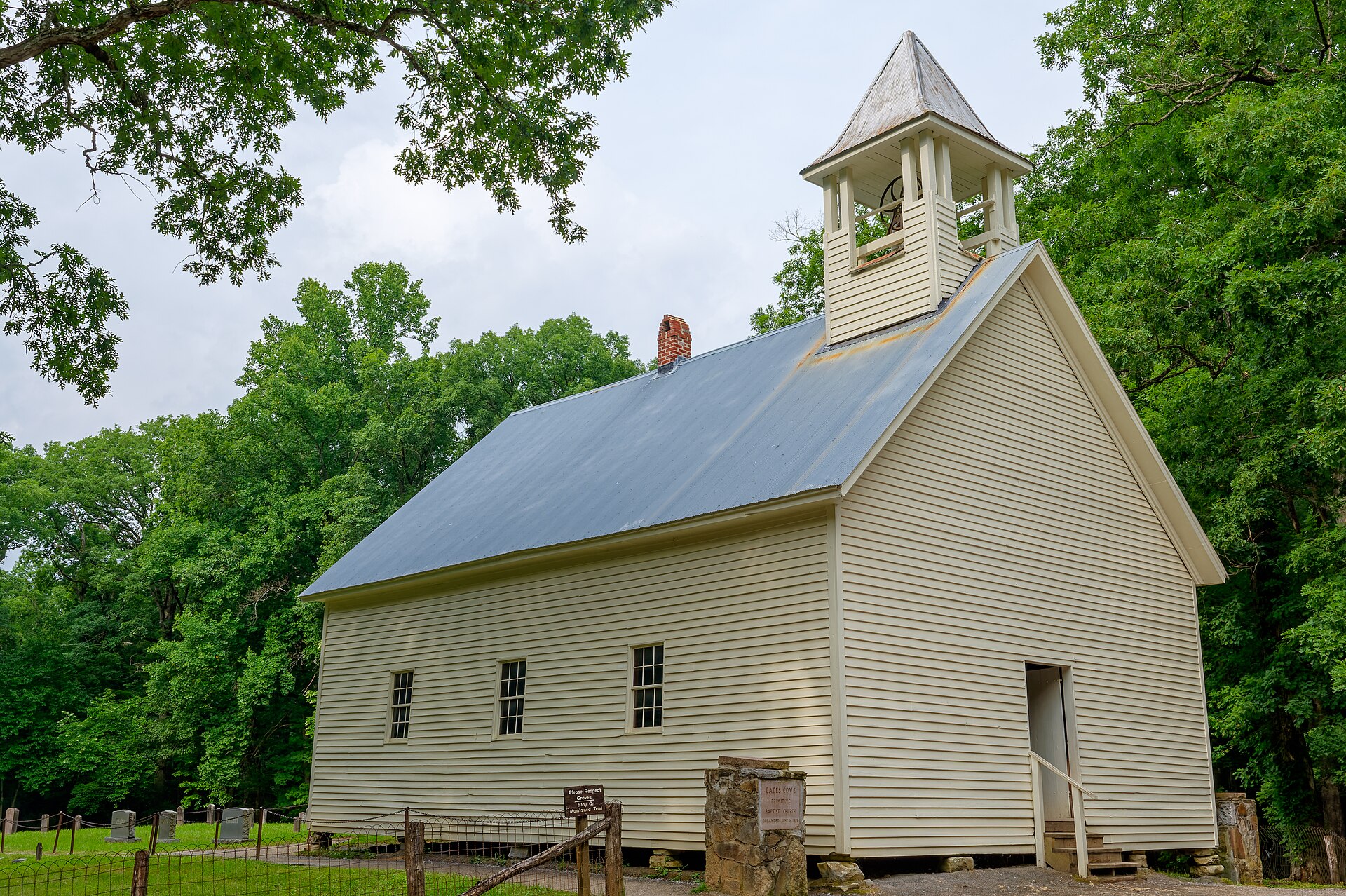
Cades Cove
Kuwohi
Newfound Gap
Townsend
Cherokee
Stories from The Smokies
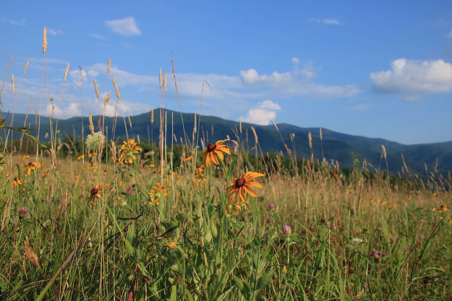
Photo: NPS Photo / Warren Bielenberg. Original · Public domain in the United States; U.S. National Park Service photograph · Resized for this site; some views are cropped.
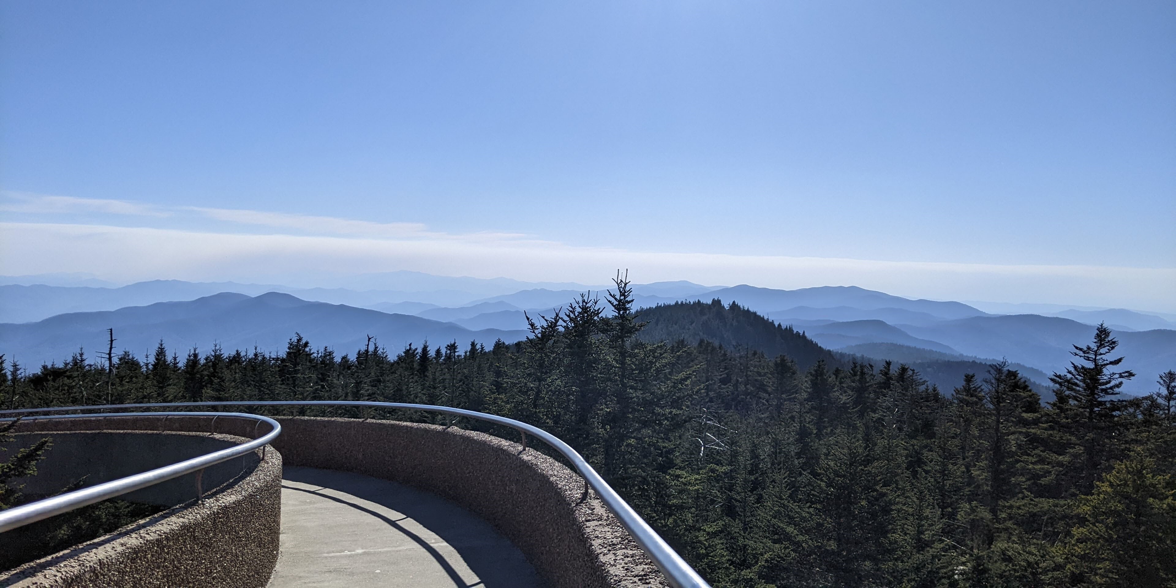
Photo: NPS Photo. Original · Public domain in the United States; U.S. National Park Service photograph · Resized for this site; some views are cropped.
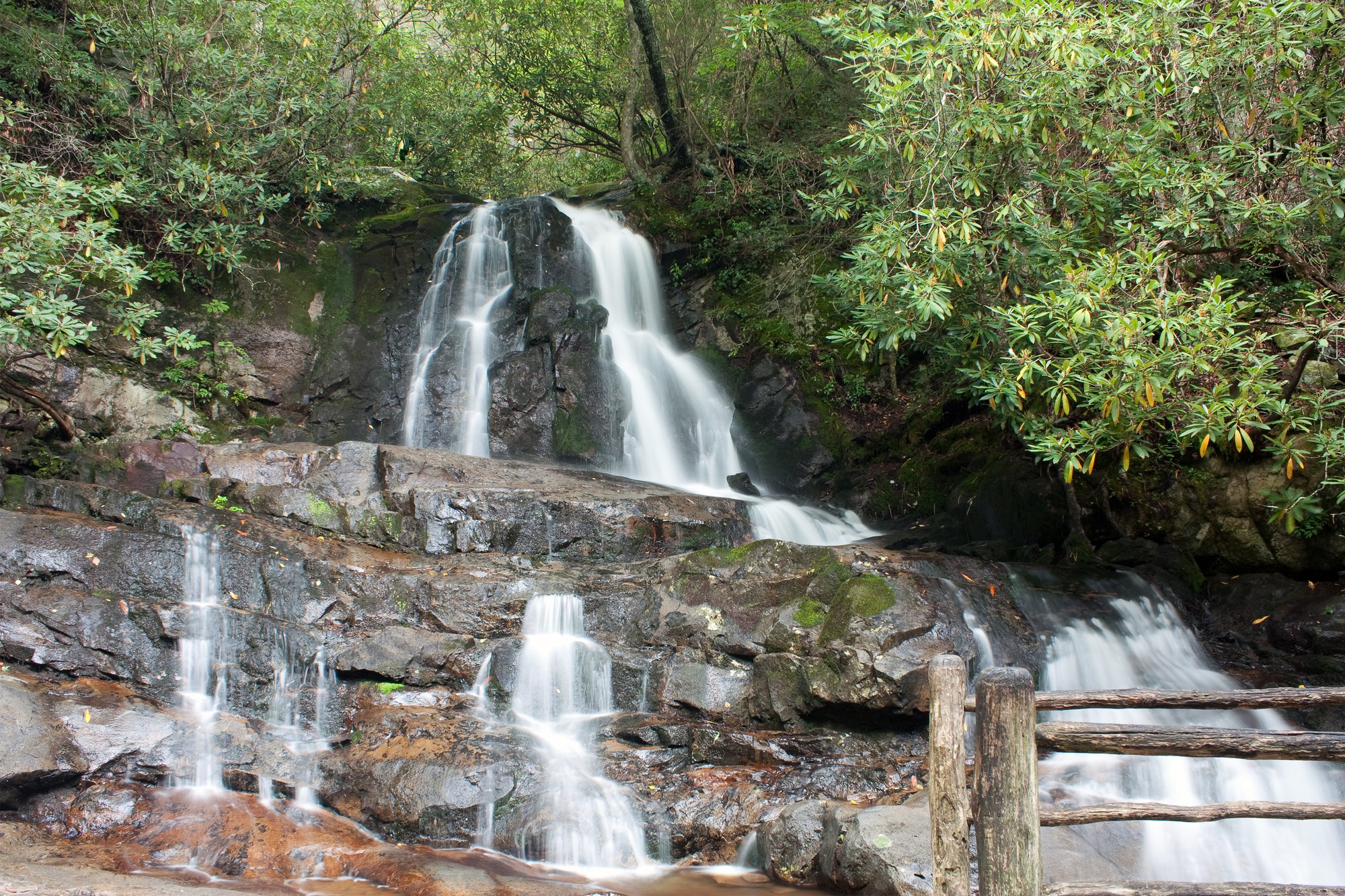
Photo: NPS Photo / Warren Bielenberg. Original · Public domain in the United States; U.S. National Park Service photograph · Resized for this site; some views are cropped.
Photo: NPS Photo. Original · Public domain in the United States; U.S. National Park Service photograph · Resized for this site; some views are cropped.