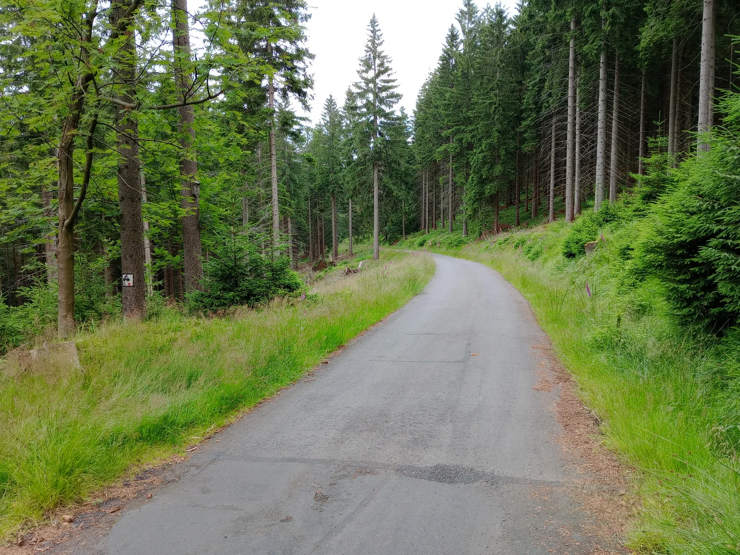
Leave time to stop between the trees
The long gravel track through the Izera forest makes us want to ride at a pace that leaves time for stops. These photographs show sections of a mountain outing, so we would choose a current marked route rather than treat them as a complete navigation guide.
A mountain region with a glassmaking past
Glassmaking is part of the history of settlements on both sides of the Izera Mountains. The municipal tourism material for Szklarska Poręba connects some cycle outings with Orle and Jizerka, places whose past includes glassworks.
Today’s numbered routes cover different distances and levels of difficulty. Our gallery records wooded sections of one outing, without identifying a complete named loop or its length.
Choose the route before the junction
The broad gravel track makes us want to keep a steady pace and stop where a clearing gives more room. Other frames show narrower woodland sections, so one smooth stretch should not decide the bicycle or route for the whole day.
At a junction, use the current map and waymarks. Decide on the return before riding further downhill; the photographs leave out the work of reconnecting every section.
Plan the visit
Choose a published route from the municipal cycling directory and check current forest restrictions. Carry water and clothing suitable for changing mountain weather. Confirm cross-border route arrangements if heading into the Czech Republic.
- Use an offline route map as well as local signs.
- Choose a route length and surface that suit the whole group.
Planning sources
Visitor conditions and schedules can change. Check these official sources before travelling.
- Szklarska Poręba municipal tourism: cycling routes
- Municipal tourism guide: mountain routes and glassmaking settlements
Source links checked September 30, 2026.