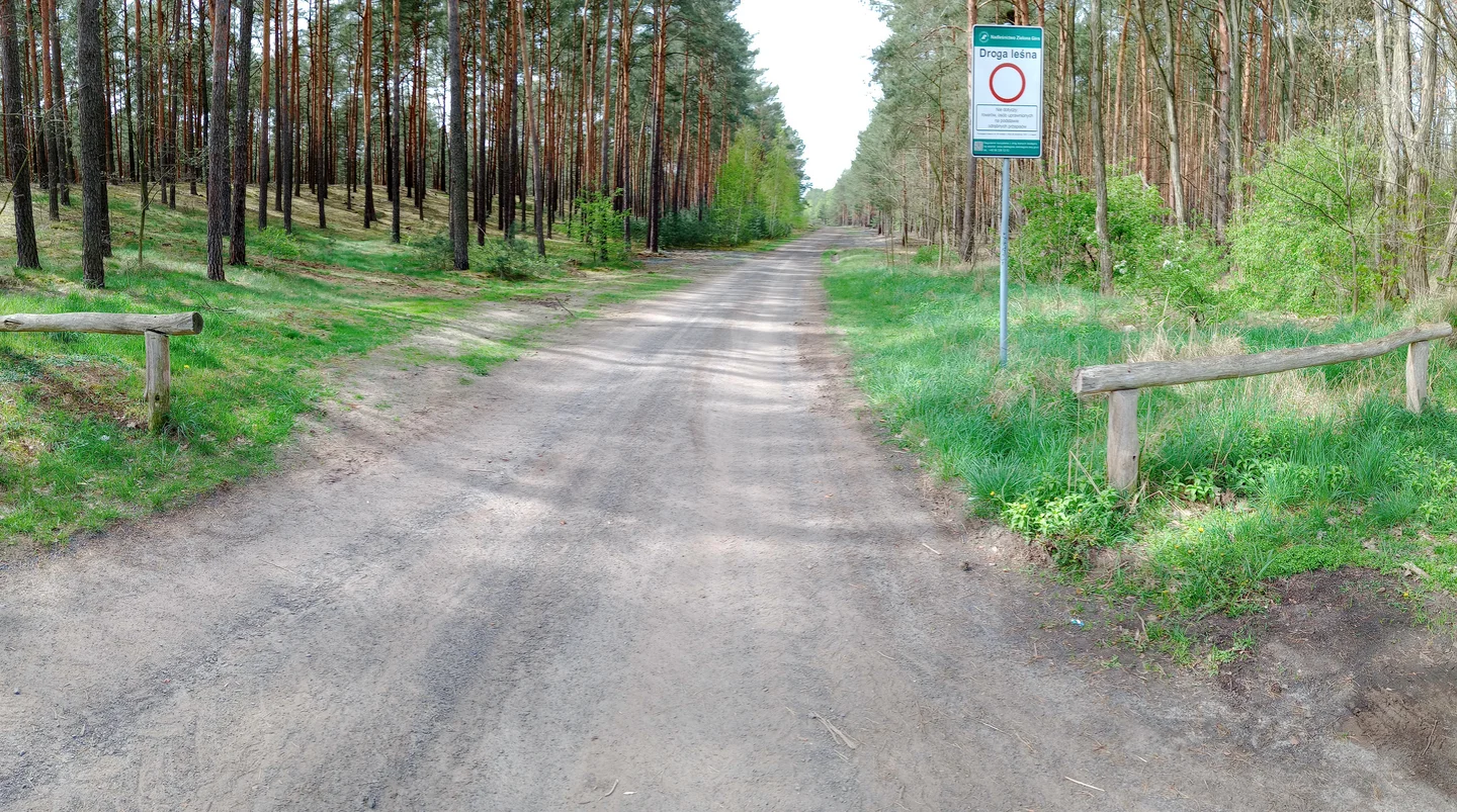
A straight stretch beneath the trees
Three photographs give us a taste of the ride between Krępa and Czerwieńsk: a straight paved section and a sandy junction. We would use them to choose the kind of outing we want, then plan the whole connection on a current cycling map.
A ride towards a town chartered in 1690
Czerwieńsk developed around a von Rothenburg hunting property and received its town charter in 1690. The railway arrived in 1870. Those parts of its history give a reason to include a town walk after a ride through the surrounding countryside.
The municipal tourism directory includes cycling routes around Czerwieńsk. Our three photographs show only short sections of the Krępa connection and do not establish a full distance or uninterrupted cycleway.
Use the photographs to choose the outing
The paved forest stretch looks like the kind of place where we would settle into a steady pace. The sandy junction is a reminder to look at the whole route before choosing the bicycle.
Leave time in Czerwieńsk for the town or reservoir, depending on the route you choose. A stop at the destination is easier to enjoy when the return has already been planned.
Plan the visit
Use the municipal route directory as a starting point, then check current connections, crossings and forest restrictions. Carry water and plan food stops separately. These photographs are a small route preview, not turn-by-turn directions.
- Check the complete Krępa connection before setting off.
- Include the return journey in the day’s distance.
Planning sources
Visitor conditions and schedules can change. Check these official sources before travelling.
Source links checked September 30, 2026.