A route board worth stopping for
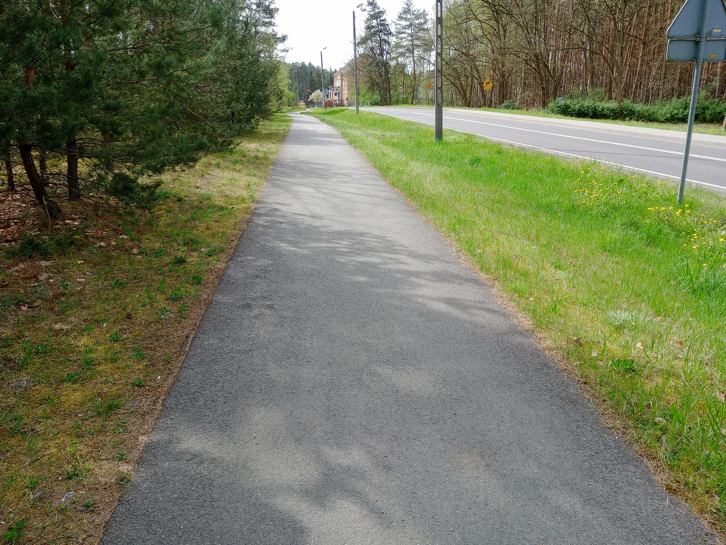
The information board and paved forest section make the Nietkowice–Czerwieńsk ride look worth investigating. We would sort out the full connection and return journey before setting off, since the three photographs only show a small part of the route.
Connections across the Oder
The Oder divides parts of the Czerwieńsk municipality. Municipal planning documents describe railway bridges and ferry connections at Brody and Pomorsko. A railway bridge is not evidence of a public cycling crossing.
That geography matters for a connection from Nietkowice to Czerwieńsk. Our photographs show a route board, a paved forest section and a junction, without recording an entire crossing or a continuous ride between the two places.
Read the route before following it
We would stop at the information board first and compare it with a current map. The paved stretch beneath the trees gives a useful impression of part of the outing, but the planning starts with the whole connection.
A river crossing can decide the distance and return time. Choose a confirmed public crossing and a fallback route before leaving, so an unavailable ferry does not leave the day unfinished on the wrong bank.
Plan the visit
Check the regional road authority’s live ferry page for operation at Brody or Pomorsko. Water levels, weather and repairs can suspend services, including when a timetable is normally in effect. Recheck on the day and choose a route that works with the actual crossing arrangements.
- Confirm a public cycling crossing; do not use railway infrastructure.
- Check live ferry status and plan an alternative return.
Planning sources
Visitor conditions and schedules can change. Check these official sources before travelling.
- Czerwieńsk municipality: walking and cycling route directory
- Czerwieńsk municipal planning: Oder crossings
- Regional Road Authority: current Oder ferry operation
Source links checked September 30, 2026.