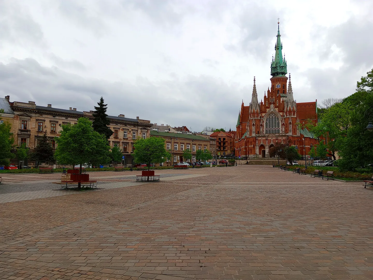
A reason to pause here
The church pulls our eye across the square, while the old town hall and the exhibition panels give us reasons to stay at pavement level. Podgórze deserves a walk of its own across the river.
The centre of an independent town
Podgórze’s market square was laid out in the 1780s when the settlement became a town. Its position followed older routes towards Wieliczka, Kraków and Kalwaria Zebrzydowska. The trapezoidal plan narrows towards the church at the southern end.
Town halls and an inn occupied important frontages around the square. Podgórze remained independent until its incorporation into Kraków in 1915. During the German occupation, the ghetto’s main gate stood where Limanowskiego met the square, adding another history to the streets around it.
Start with the whole square
We would begin with a broad view towards Saint Joseph’s, then walk closer to read the frontages and displays. The photographs give both scales: the church across the open space and smaller building details at the edges.
The square can lead into an exterior church walk or up towards Lasoty Hill. Choose the climb around your group’s energy; the open view across the paving need not turn into a long route.
Plan the visit
Use public pavements and crossings around the square. Church interiors and hillside routes require separate access checks. Current city transport information is useful for arriving in Podgórze and planning the return. Leave the church approach clear and do not stop in traffic to reproduce the widest photograph.
- Compare the square’s broad end with the narrower church approach.
- Plan Lasoty Hill separately if slopes or steps matter.
Planning sources
Visitor conditions and schedules can change. Check these official sources before travelling.
Source links checked September 30, 2026.