A reason to pause here
The ramps and railings in these photographs make us look at how the riverside routes connect. We would use this crossing as part of a Podgórze walk, taking the route that fits our mobility rather than assuming every approach is level.
A connection within the riverside routes
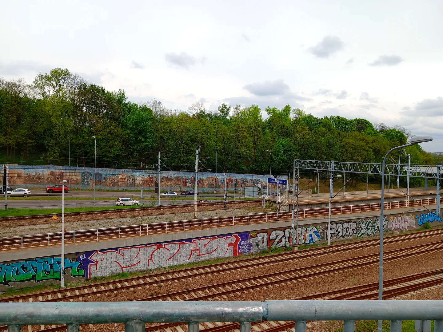
Kraków’s Vistula boulevards form a separate level of walking routes below parts of the street network. This gallery documents ramps and railings connecting routes on the Podgórze side. The supplied images do not establish a builder or date, so we do not attach a guessed railway history to the crossing.
Look at the route before choosing it
We would use the crossing to continue a river walk, checking the slope and onward path first. The photographs make the changes of level visible, but do not measure gradients or confirm a fully accessible route. A street-level alternative may suit the day better.
Plan the visit
Follow on-site signs and current city route information. Check for closures, flooding or slippery surfaces on lower paths. Ramps can still be steep; inspect the approach and return option before committing to it with wheels or limited mobility.
- Check the whole onward route rather than only the first ramp.
- Keep the shared walkway clear while stopping.
Planning sources
Visitor conditions and schedules can change. Check these official sources before travelling.
Source links checked September 30, 2026.