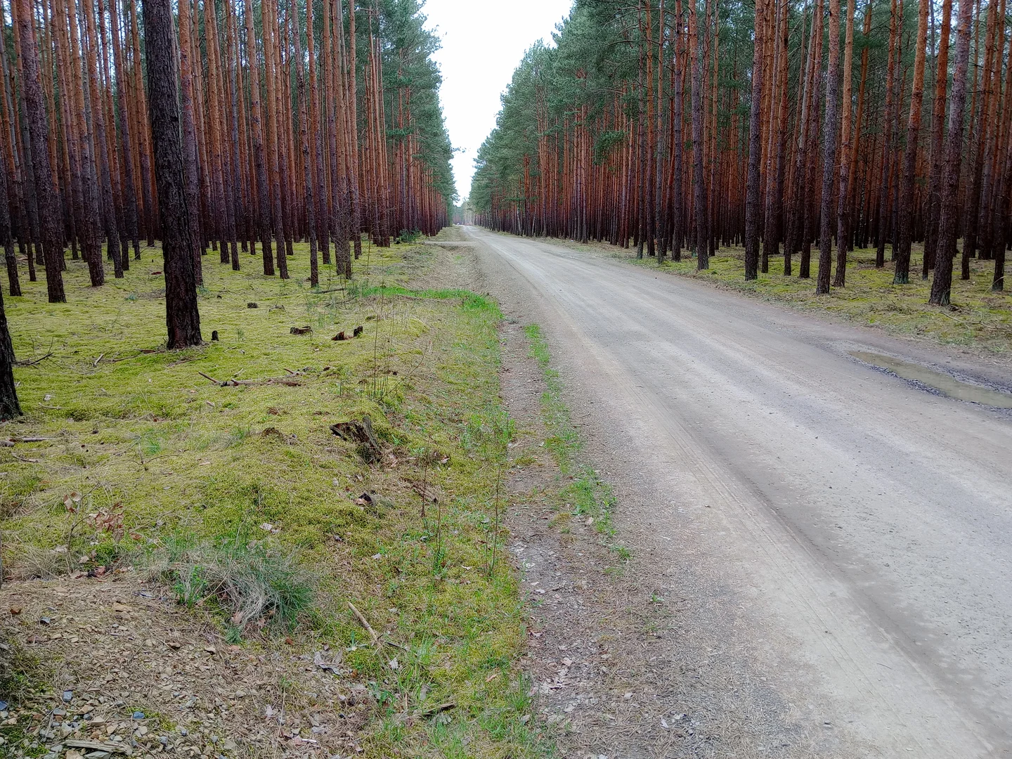
Leave time between the village and the pines
The Przetocznica collection moves from a village church to a long road through the pines. We would leave time for both parts of that ride, using a current route map to connect the stops rather than guessing from the photographs.
A settlement beside the Ołobok
Przetocznica lies in the Skąpe municipality beside the Ołobok. The municipality records a change of ownership in 1570, when von Kalkreuth bought the property from von Stöss, followed by several later estate owners.
Its surviving mill building dates to 1911. The municipal heritage inventory also lists associated farm buildings and nearby twentieth-century fortification structures. Our gallery shows stops along an outing towards Przetocznica; it does not identify every frame as a view within the settlement itself.
A village pause before the forest road
The church frontage and long pine road make different stopping points in this small collection. We would keep time for the village view before continuing into the woodland, rather than treating the road as the only subject.
The channel and roots beside the path are smaller reasons to put the bicycle aside for a moment. Stay on established routes and inspect any unfamiliar structure from an accessible public viewpoint.
Plan the visit
Plan the complete outing on a current map, including road sections and the return. The photo sequence does not provide distances or navigation. Church grounds, mill property and former military structures can have separate access restrictions; a name on a heritage list does not make an interior open to visitors.
- Check the full route and its surfaces before choosing a bicycle.
- Use public routes and respect gates at buildings along the way.
Planning sources
Visitor conditions and schedules can change. Check these official sources before travelling.
Source links checked September 30, 2026.