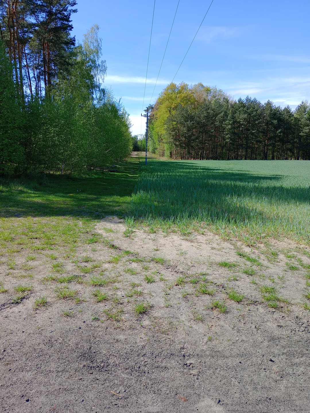
From smooth paving to the forest edge
The Chemiczna–Łężyca collection moves from smooth cycleway to sandy and gravel sections. We like that variety in a local ride, while leaving the actual loop to a current map that shows crossings and any changed connections.
A ride within a wider Zielona Góra
Łężyca became part of Zielona Góra in the city’s 2015 merger with its surrounding rural municipality. A ride from the Chemiczna area towards Łężyca therefore explores the city’s wider residential and wooded surroundings, beyond the older centre.
Our collection records a mix of paved cycleway, gravel and sandy sections. It does not establish when each connection was built or provide a complete recorded track.
Notice where the surface changes
The red-surfaced cycleway makes a clear beginning, while the field margins and forest bends change the feel of the ride. We enjoy that variety, provided the route is chosen with all its surfaces in mind.
At road crossings and junctions, slow down and use current signs. A photograph of a railing can help recognise a spot, but it cannot tell us which turn completes the loop.
Plan the visit
Plan the full loop on a current cycling map before leaving. Check forest notices and any path works. Choose a bicycle and distance suitable for mixed surfaces, and arrange the return without assuming that every photographed connection remains open.
- Check crossings and unpaved sections when planning the loop.
- Use a current route map rather than the order of the gallery.
Planning sources
Visitor conditions and schedules can change. Check these official sources before travelling.
- Polish official legislation: Zielona Góra municipal merger
- Zielona Góra Forest District: walking and cycling in the local forest
Source links checked September 30, 2026.