A reason to pause here
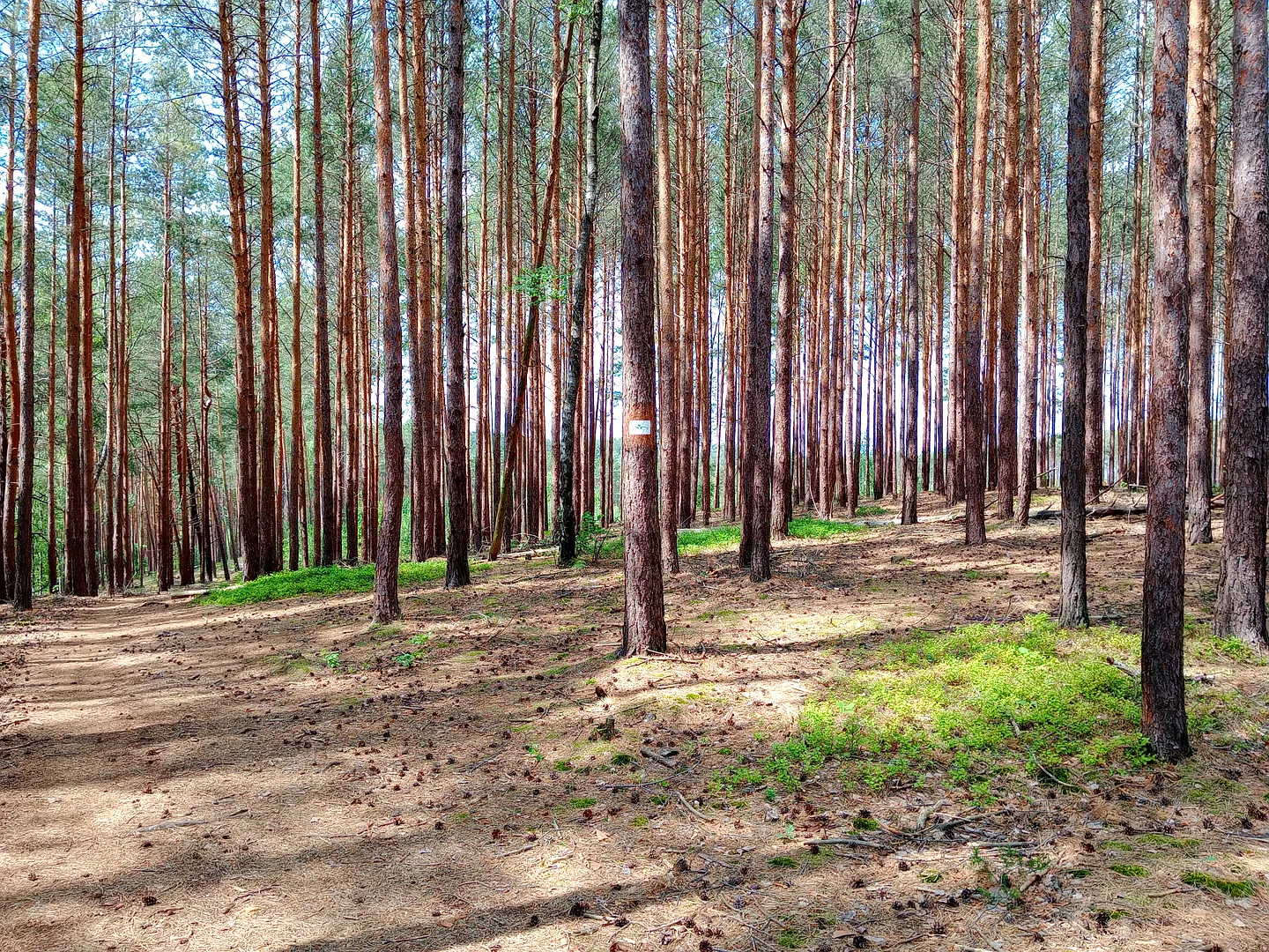
The pine trunks and signs in our Jagodowe Wzgórze photographs make us want to get the route sorted before setting off. We would choose the walk or ride for the day’s conditions, with time to stop where the woodland opens around the track.
A modern local name in the forest
The local forest district records the name Jagodowe Wzgórze from a walkers’ outing on 8 April 2001, crediting Mirosława Sobecka with suggesting it. The surrounding Piast Hills have a longer forestry and recreation history, including marked walking and mountain-bike routes.
Read the signs among the pines
We would decide on the route before following the track. Our photographs show pine trunks and signs rather than a complete map. Stop where the woodland opens and keep a little time for an unhurried return, whichever walk or ride you choose.
Plan the visit
Check the forest district’s current access notices and on-site route markers. Paths can be sandy or muddy and may be shared with other users. The gallery is not a GPX track or a verified distance, and cycling routes should not be assumed suitable for every bicycle.
- Choose a walking or cycling route from current signs.
- Check forestry closures before leaving the town.
Planning sources
Visitor conditions and schedules can change. Check these official sources before travelling.
Source links checked September 30, 2026.