A reason to pause here
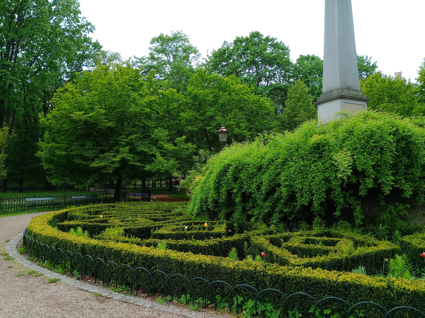
The monument and clipped beds give this part of Planty a more formal shape. We would look for the stone traces beside the paths as well as follow the tree-lined avenue.
A park on the former defensive belt
The Planty developed in the early nineteenth century after much of Kraków’s medieval defensive system was removed. Paths and planting took the place of walls, moats and open ground. This garden is one part of the larger ring around the Old Town.
Monuments and stone markers now interrupt the avenues. They are useful places to pause and read the city’s history at ground level, while the surviving walls nearby let you compare the park with the older fortifications.
Look beside the main avenue
Our gallery moves between formal beds, a monument and stone traces near the paths. We would follow a short section slowly, leaving time to read a plaque and look back towards the Old Town. The clipped planting gives this stretch a different shape from the more wooded parts of the ring.
Plan the visit
Use a current city map to choose your entrance and return route through the Old Town. The paths cross roads at several breaks in the ring, so use crossings rather than following a tree line into traffic. A short section is a sensible choice if you are fitting the walk between timed museum visits.
- Read the markers alongside the paths.
- Choose your road crossings before extending the walk.
Planning sources
Visitor conditions and schedules can change. Check these official sources before travelling.
Source links checked September 30, 2026.